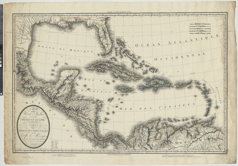
A map of the West-Indies and of the Mexican-Gulph = Carte des Indes occidentales et du Golfe du Mexique
Contenu
-
Identifiant (dcterms:identifier)
-
BNU168722i
-
Légende (dcterms:title)
-
A map of the West-Indies and of the Mexican-Gulph = Carte des Indes occidentales et du Golfe du Mexique
-
Description (dcterms:description)
-
Carte originale : ca 1:6 200 000
-
Mot-clé Siècle (dcterms:temporal)
-
19
-
Type (dcterms:type)
-
fr
Carte, plan
-
Format (dcterms:format)
-
image/jpeg
-
Conditions d'utilisation (dcterms:rights)
-
fr
Domaine public
-
Plateforme source (dcterms:provenance)
-
Bibliothèque numérique Manioc
 Bibliothèque nationale et universitaire de Strasbourg

