images/import/2013/NAN13034/NAN130340146i1.jpg
Médias
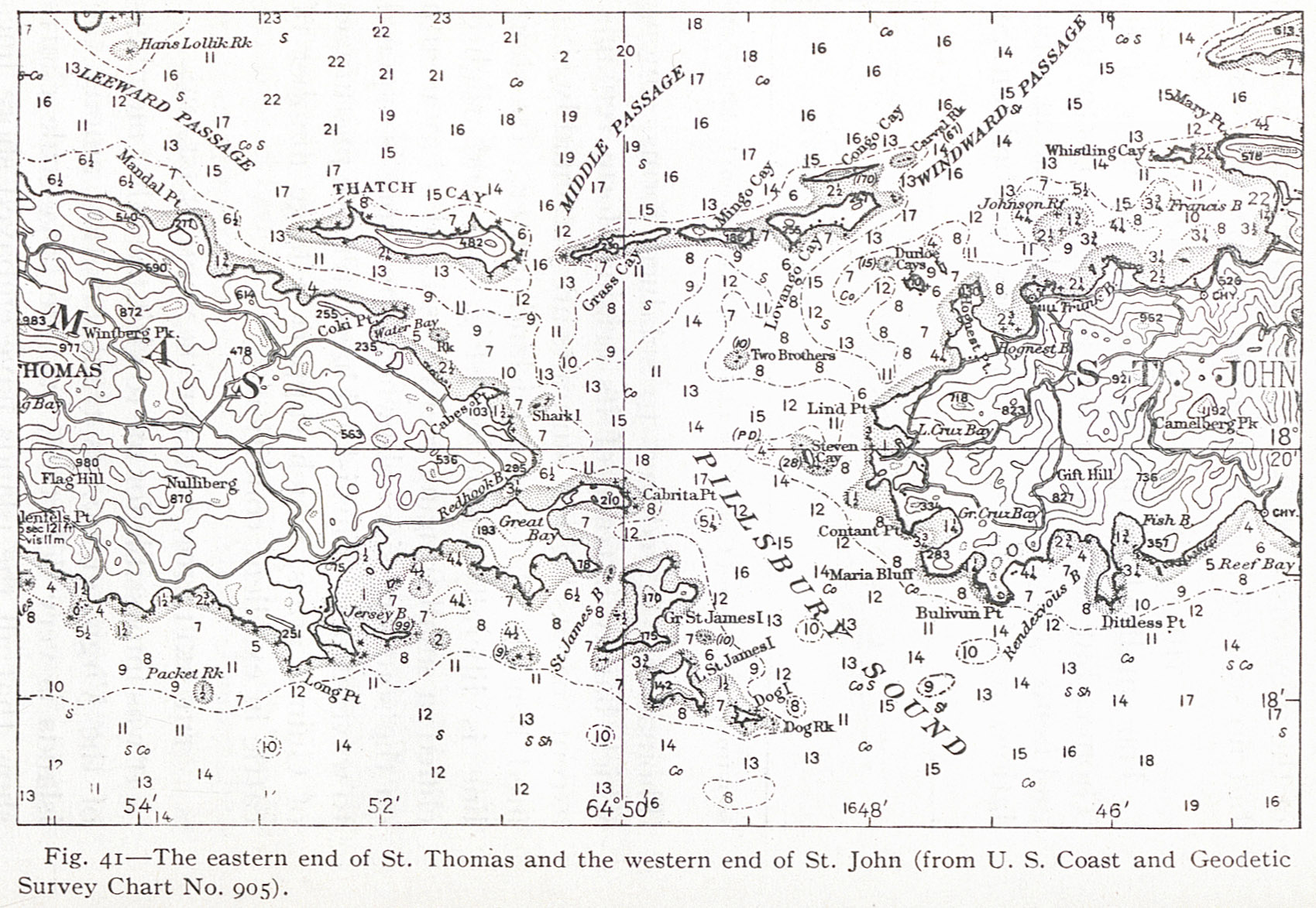
Fait partie de Fig. 41 — The eastern end of St. Thomas and the western end of St. John (from U. S. Coast and Geodetic Survey Chart No. 905).
- Titre (dcterms:title)
- images/import/2013/NAN13034/NAN130340146i1.jpg
- Provenance (dcterms:provenance)
- Bibliothèque numérique Manioc