A scale of two English miles
Contenu
-
Identifiant
-
SCH132550188i1
-
Légende
-
A scale of two English miles
-
Page
-
entre p. 176 et 177
-
Numéro
-
176
-
Description
-
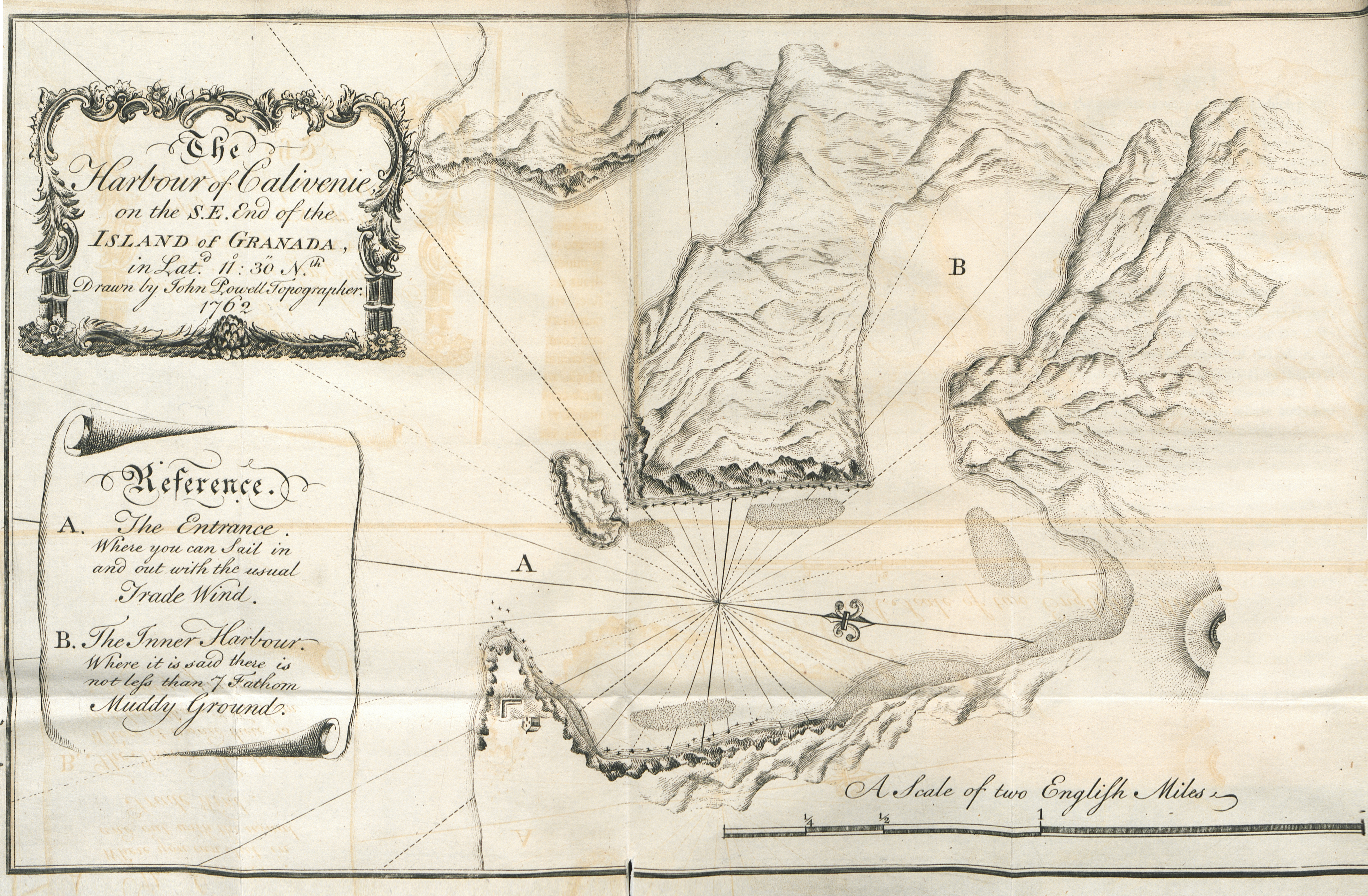
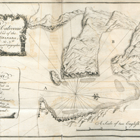
"The harbour of Calivenie on the S. E. end of the Island of Granada, in Lat. 11° : 30" Nth ; drawn by John Powell topographer. Reference . A. The entrance where you can sait in and out with the usual trade wind. B. The inner harbour, where it is said there is not lefs than I Tathom muddy ground."
-
Type
-
fr
Dessin, estampe, peinture
-
Format
-
image/jpeg
-
Conditions d'utilisation
-
fr
Domaine public
-
Plateforme source
-
Bibliothèque numérique Manioc
 Bibliothèque Schœlcher
 Candid and impartial considerations on the nature of the sugar trade : the comparative importance of the British and French Islands in the West-Indies : with the value and consequence of St. Lucia and Granada, truly stated. Illustrated with copper-plates