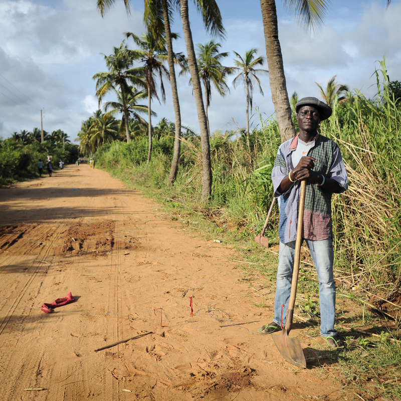
Ahi, doing some repairs on the “Slaves’ Route”.
Contenu
-
Identifiant
-
BUAPH230354
-
Titre
-
Ahi, doing some repairs on the “Slaves’ Route”.
-
Lieu de la prise de vue
-
fr
Bénin
-
Description
-
The Slaves’ Route is a two-miles road starting in downtown Ouidah, close to a former slave market, and ending at the beach, where the captives were allegedly put on pirogues that brought them to the slave ships. In fact, because the coastal lagoon separated the town from the shore, it is more likely that the captives covered part of the way to the outer shore by canoe. Despite the relative success of the Slaves’ Route, only the local population living in the neighbourhoods is sufficiently audacious to walk along the road. The two-miles road is long and because the traffic is intense and there is no allotted space for pedestrians, it is rather difficult to safely observe the monuments. Indeed, individual tourists experience the Slaves’ Route by zemidjan (local motorcycle taxis). If with groups, they see the route by car or bus, and stop only at the end of the road, at the beach. Ouidah, Benin
-
Mot-clé Siècle
-
21
-
Type
-
fr
Couleur
-
Format
-
image/jpeg
-
Conditions d'utilisation
-
fr
CC-BY-NC-ND - Attribution - Pas d'utilisation commerciale - Pas de modification
-
Plateforme source
-
Bibliothèque numérique Manioc
Ressources liées
Contenus avec " Contient : Ahi, doing some repairs on the “Slaves’ Route”. "
| Titre |
Classe |
 Cham, la mémoire vivante Cham, la mémoire vivante |
Collection
|
 Cham, la mémoire vivante
 Université des Antilles
 Cham, la mémoire vivante
